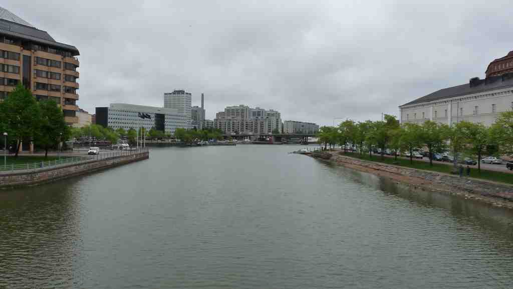
On your left, look for a narrow ribbon of water held between stone embankments and crossed by a broad bridge, the last clear eastern opening into Helsinki’s inner shoreline.
This is Siltavuorensalmi, a salmi, or strait: a slim passage of water linking larger waters. Most people read it as a tidy line on the map. In truth, it is a survivor. Centuries ago, a much broader waterway curved around Kruununhaka, so the district was, for all practical purposes, an island. Then the western connection, Kluuvinlahti, slowly silted up, and in the nineteenth century the city filled it for building land. What remained here became the only eastern sea route into this part of Helsinki.
This is where made land begins to matter. People built embankments, meaning artificial edges of earth and stone, and they pushed fill into shallow water until the shoreline obeyed new plans. The railway embankment of the eighteen sixties and the expanding land around Hakaniemi Market Square slowed the current even more. Weak circulation means the water cannot properly refresh itself. By the nineteen sixties, sewage and industrial discharge had turned this strait into a foul, sulphur-smelling green gruel.
If you want a neat little shock, open the before-and-after image and compare the shoreline of nineteen oh seven with the engineered channel you see now.
Even the crossings changed the thing they crossed. The French engineer Freyssinet gave his name to the concrete method used later on the old bridge here, while the water below kept narrowing. In the twenty-twenties, new fill at Hakaniemenranta began pressing in again, so some locals fear this historic strait may shrink into little more than a canal. Next, we’ll walk on to Hakaniemi Bridge.