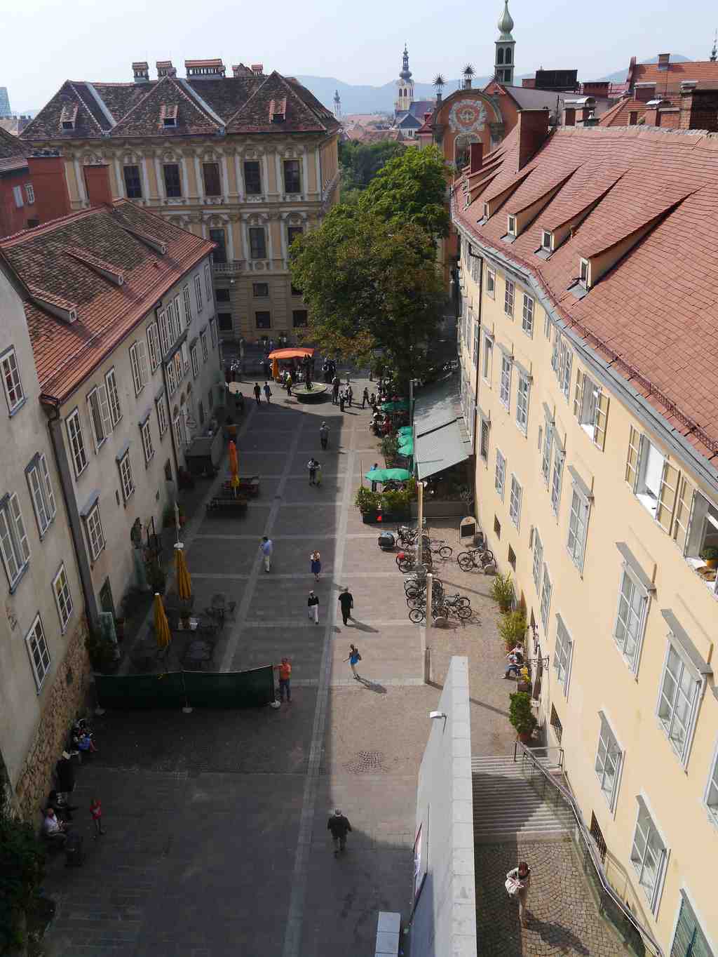
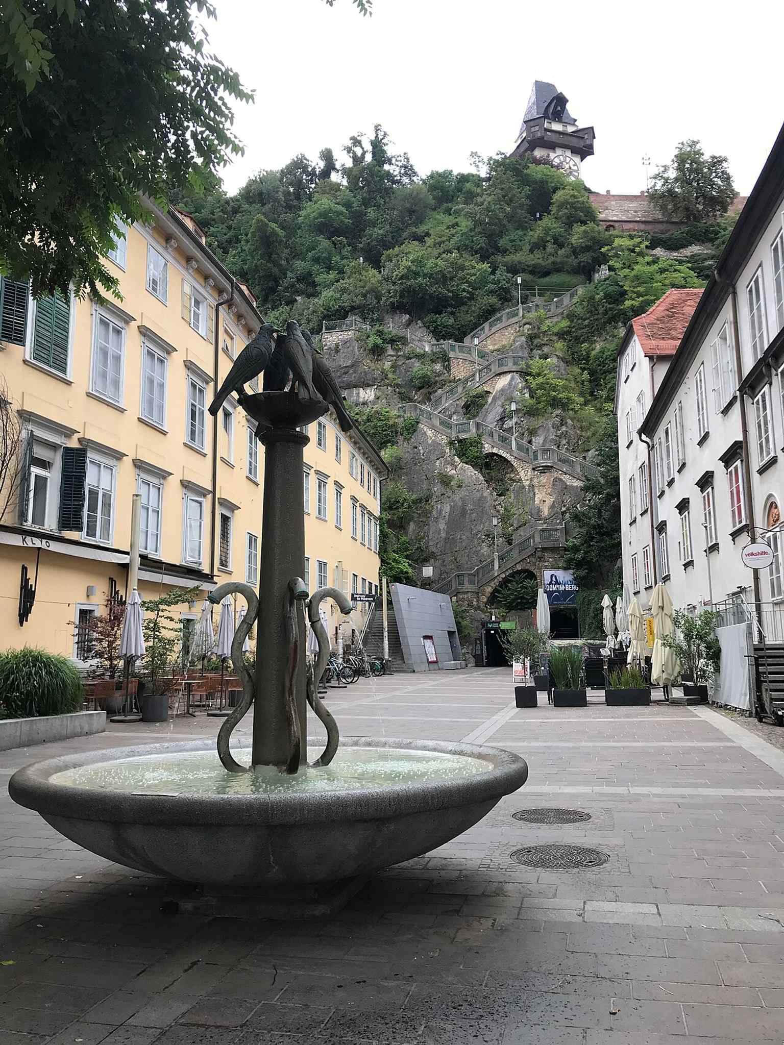
You can spot Schloßbergplatz by its long paved open space pressed against a near-vertical rock face, with the pale stone Kriegssteig climbing the hill in sharp stages.
This square makes sense only when you read it as a former edge. For centuries, Graz ended here. At least since the thirteenth century, a city wall ran down from the Uhrturm on the Schloßberg to the Reinerhof below, then continued west toward the Mur. On the inner side of that wall, Sackstraße simply stopped. The name “Sack” here means a dead end, a street closed like the bottom of a bag. Then, in the fourteenth century, the city broke a gate through the wall, the First Sack Gate, so traffic could pass north. Later views show a plain square tower with a hipped roof guarding it.
The open ground in front of that wall could not be built over, because the land belonged to the ruling prince. That is why this place feels stretched and oddly linear even now. If you glance at the broad view in the app, you can see how the square lies like a narrow apron at the foot of the hill.
Names changed as the place changed. In sixteen twenty-five, the city assigned it as a fish market. A few decades later, the trade moved on. Records then call it Haffnerplätzl, later Schlosserpläzl, and for a long time Ursulinenplatz, after the Ursuline convent nearby. Only in nineteen twenty-nine did the city settle on Schloßbergplatz, named for the hill itself. And yes, Graz keeps the old sharp s in the name: Schloßbergplatz, not Schlossbergplatz. A small local act of stubbornness; one rather respects it.
After the fire of sixteen seventy devastated this area, builders reshaped the square. The long former post office rose along the north side; later people called it the Alte Münze, the Old Mint, because it served as the imperial mint for a time. At the western end, the Ursulines built their bastion, a projecting defensive platform, and then their church and convent. Near the corner, Ignaz Maria Count Attems commissioned the grand palace you have just seen, and in seventeen oh five he secured permission to remove the old Sack Gate entirely. At that point, the square lost its military purpose for good.
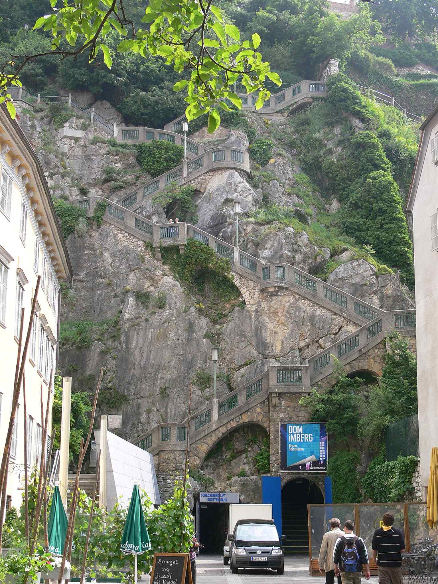
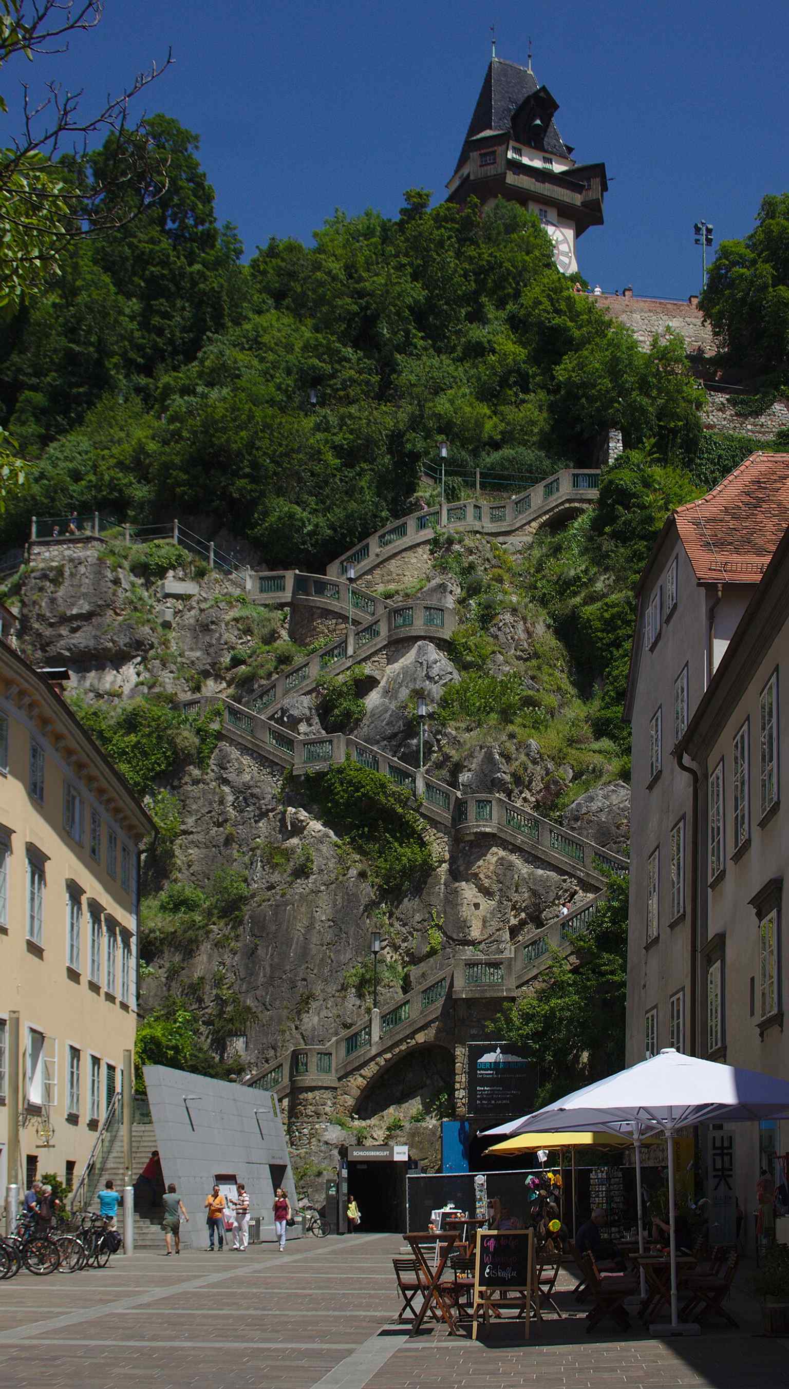
Its most dramatic addition came in the twentieth century. The Kriegssteig, the “War Stair,” began as an idea around nineteen oh three, but war delayed the work. Engineers, soldiers from Infantry Regiment number twenty-seven, and Russian prisoners of war carved the route into the slope, and the stair finally opened on the first of June, nineteen eighteen. It still carries that uneasy name, though some locals prefer Felsensteig, the Rock Stair, or Russensteig, recalling the forced labourers. The app photo gives a fine sense of its severity and elegance.
During the Second World War, forced labourers cut tunnels into the mountain from this very square. The system eventually reached six point three kilometres, with twenty entrances and enough space to shelter up to fifty thousand people during air raids, while also housing a command centre and a hospital. Today those same tunnels lead to the Schloßberglift, the slide, the fairytale railway, and the passage through the hill to the east side: the mountain has kept its cavities, but changed their purpose.
Schloßbergplatz is the place where Graz turned a hard frontier into a public threshold. When you are ready, continue on and let the city draw you onward.


%20IMG%202898.jpg)